Distance 25km • Walking Time 5 – 7 hrs • Ascent (↑) 170m
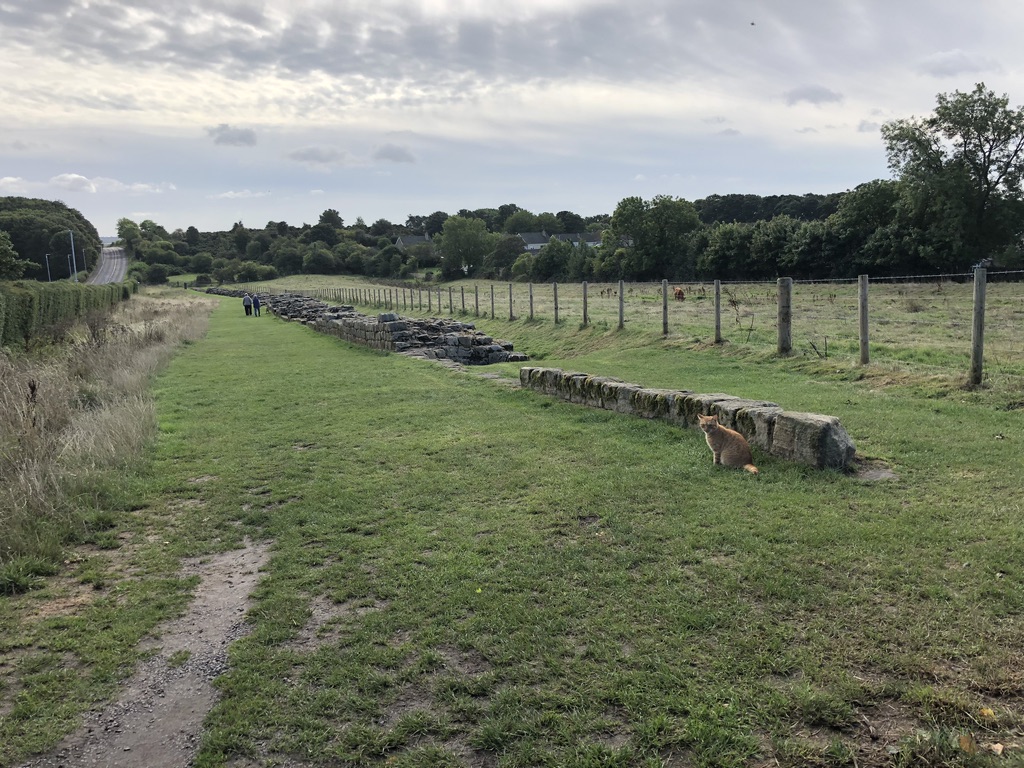
The first big section of wall. The dog down a ways was barking at us. Turns out it was angry that we were close to his cat.
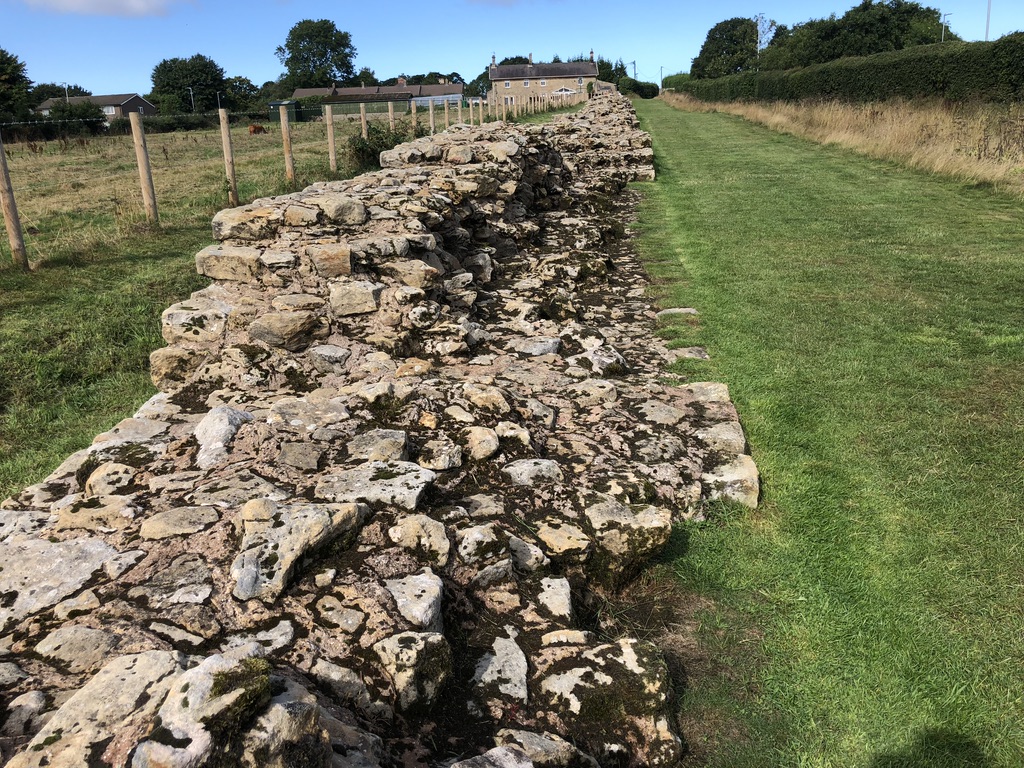
This is “the longest preserved ‘Broad’ section of the Wall. This was the width of the Wall as it was originally designed. The Roman builders soon changed the width of the Wall as you move further west, but since they had laid the broad foundations, you will find a narrower Wall built on top of those broad foundations.”
Note its girth.

Bovine and feline live side by side.

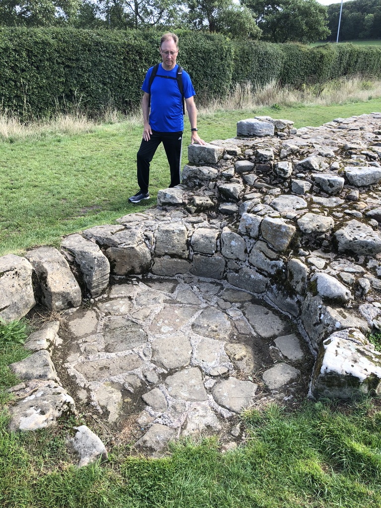
One unit of DAD for scale.
After the fall of Rome, this small section of wall was used at some point in the Middle Ages for baking.

A section of wall that has become part of someone’s garden.
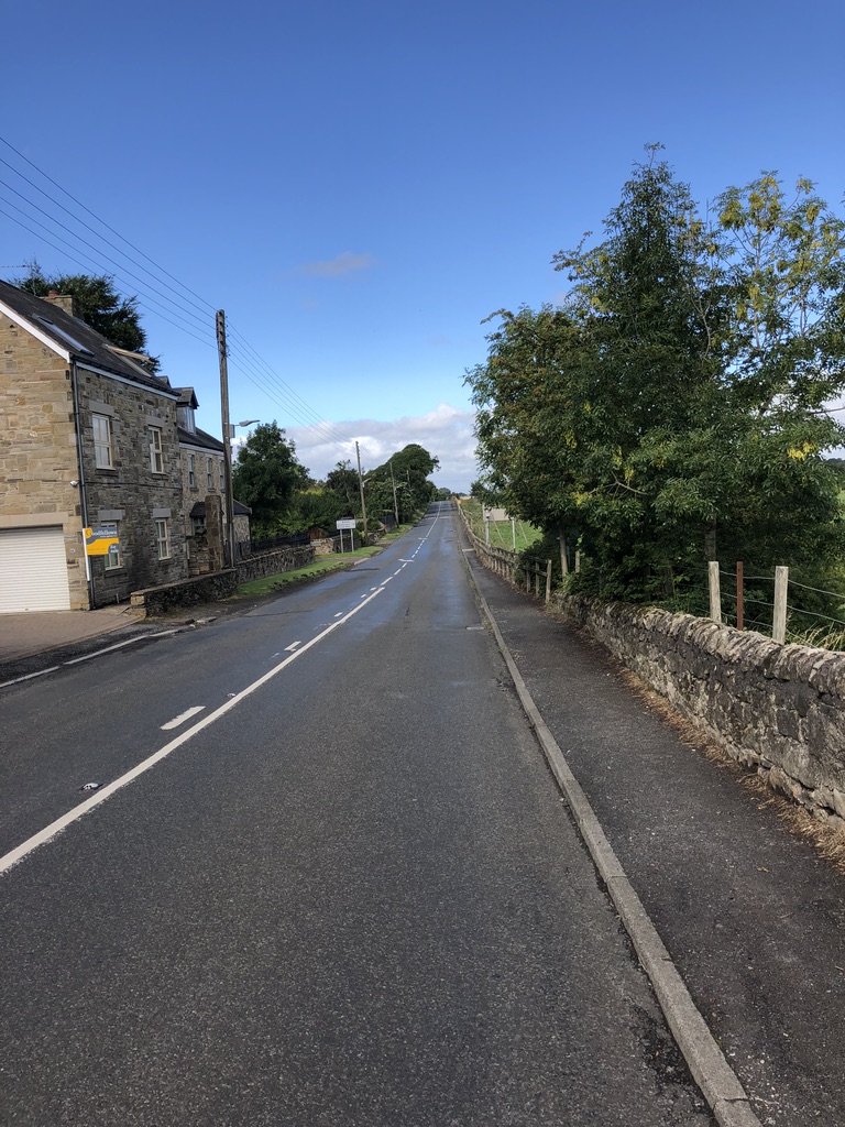
From here on, the wall almost disappears. Essentially, in the 18th century, General Wade’s ordered the construction of a road to facilitate the rapid movement of his troops across the country in order to protect England from incursions by Bonnie Prince Charlie. He needed a good foundation so he just built right over the wall! This became known as the Military Road but now is referred to as B6318.
To quote the itinerary, “The B6318 is going to be your constant companion for rest of the day for the simple reason that it was built right on top of the Wall! B6318 is just a modern and unimaginative name for the Military Road, built with Hadrian’s Wall stones on General Wade’s orders in the 18th century to facilitate the rapid movement of his troops across the country in order to protect England from incursions by Bonnie Prince Charlie and his followers.”
There are a lot of interesting things associated with Marshall Wade. He is a central figure in a little known verse of God Save the Queen which came up a number of times in the lead up to the vote on Scottish independence.
To quote Wikipedia, once again:
“Around 1745, anti-Jacobite sentiment was captured in a verse appended to the song, with a prayer for the success of Field Marshal George Wade’s army then assembling at Newcastle. These words attained some short-term use, although they did not appear in the published version in the October 1745 Gentleman’s Magazine. This verse was first documented as an occasional addition to the original anthem by Richard Clark in 1822,[36] and was also mentioned in a later article on the song, published by the Gentleman’s Magazine in October 1836. Therein, it is presented as an “additional verse… though being of temporary application only… stored in the memory of an old friend… who was born in the very year 1745, and was thus the associate of those who heard it first sung”,
The words go as follows:
Lord, grant that Marshal Wade,
May by thy mighty aid,
Victory bring.
May he sedition hush,
and like a torrent rush,
Rebellious Scots to crush,
God save the King.

Despite Marshall Wade’s iconoclasm, parts of the wall can still be seen jutting out just beneath the road.

This is the site of Rudchester Fort (or Vindobala), a fort that has yet to be excavated. To quote my itinerary, “The land is now owned by the local county council and there are hopes that this fort will be excavated and developed properly one day. However, the place was once heavily pillaged by local farmers and the builders of the Military Road in the 18th century – so, what exactly is left after all these depredations remains to be seen.”
“It’s a dangerous business, Frodo, going out your door. You step onto the road, and if you don’t keep your feet, there’s no knowing where you might be swept off to.” – J.R.R. Tolkien, The Lord of the Rings

“GET OFF THE ROAD” https://youtu.be/Cyq37Qs8dro?t=1m45s

Some people don’t get two hoots for my puns.
Rainy English weather.

Here is DAD sporting his Tricorne hat. Again.

Inside an ancient Roman Vallum that was built right in front of the wall. For all things vallum, click here: https://en.wikipedia.org/wiki/Vallum_(Hadrian%27s_Wall)

Stopped for lunch and surprisingly didn’t grab a pint.

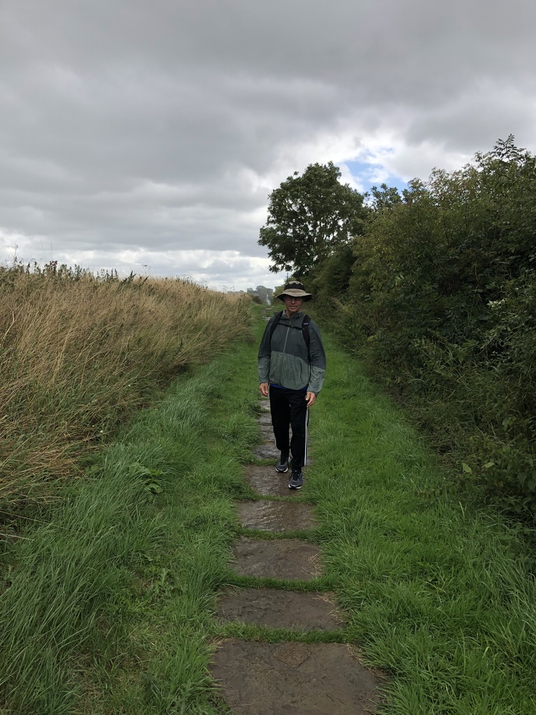
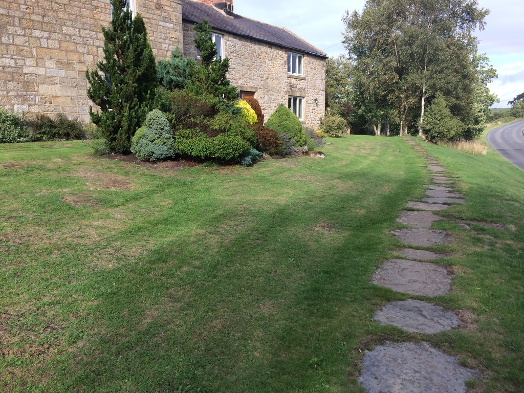
Stepping stones.

Looking back at my notes, this is the site of another Roman fort as well as a Medieval Castle. It doesn’t really matter though. It’s hard not to walk over something historic. My kind of place.
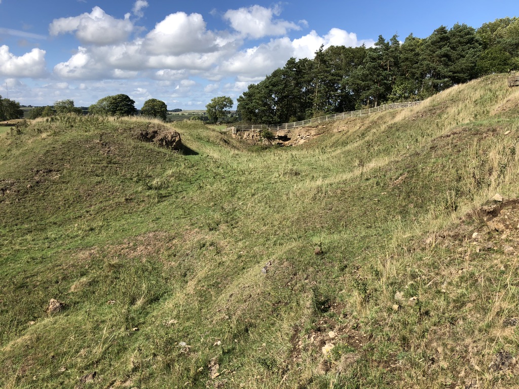
The big hills on either side are remnants of long forgotten fortifications.
 *Gazes melodramatically at history*

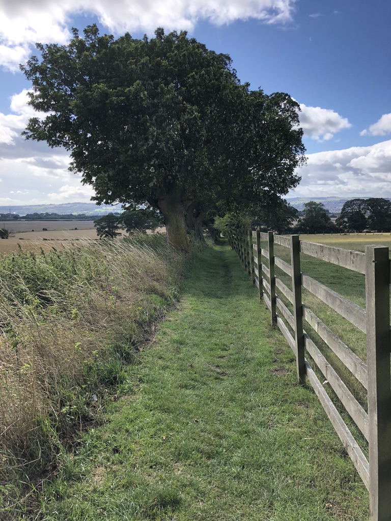
Pleasant pastures seen.

Forest! There are hardly any packed groups of trees around generally. Humans have really altered the landscape. Even this one was quite maintained. Some film and media portray Medieval or ancient England as savage and unkept. In actuality, the land has been meticulously maintained for thousands of years. Only in the most distant corners of the UK do things begin to really become ‘wild’. Even then, human activity has still altered the land more than it may seem in the present. A good example of this being the Scottish highlands before the Highland clearances where the physical remains of local communities can still be seen.

Standing in the Roman vallum. I suspect that it has been maintained throughout the millennia by farmers as it serves as a method to contain livestock. There is an interesting fusion of the old with the new. The road which is visible in the top right is the modern road that has been built over Marshall Wade’s military road which he, in turn, had built over Hadrian’s Wall. Some of the stones used by the Romans now make up the farmers wall between the road and the vallum.

The B6318 road, a farmer’s wall built with Roman stone, and those blue remembered hills.
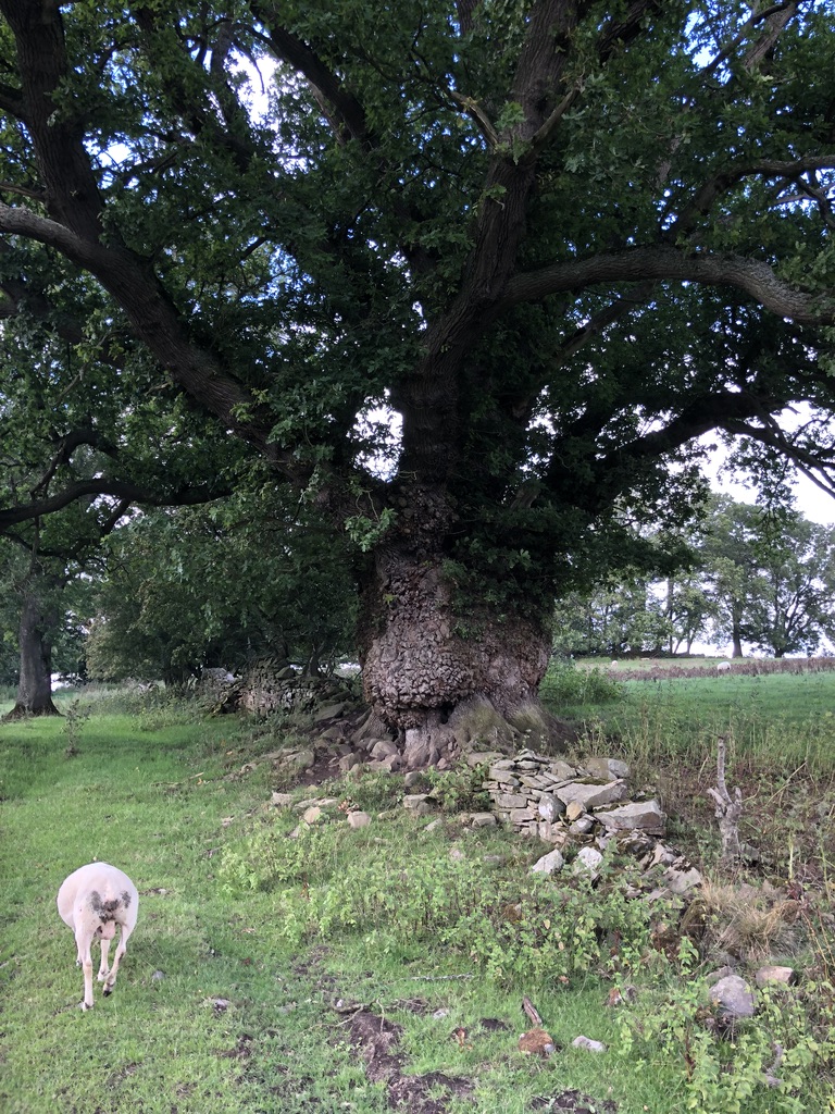
This Treebeard-like tree was quite something. Try not to mind the sheep in the foreground.

Typical English weather.

One of the many photogenic trees.

Excavated in 1876 by John Clayton, Turret 26B is one of the best preserved turrets. Brunton Turret was close to Milecastle 26. For more information, https://en.wikipedia.org/wiki/Milecastle_26#Turret_26B One end of the wall at the turret is thicker than the other. This is characteristic for this area where narrow and broad Wall met.


I noticed these grooves in the doorways of every well preserved turret. I suspect that it was for drainage purposes.
This part of the walk went right across someone’s lawn
The walk day’s walk ended at Chesters Roman Fort which we were unable to see due to arriving too late.
https://en.wikipedia.org/wiki/Cilurnum
Unfortunately, due to time constrictions, I wasn’t able to visit the monument to the Battle of Heavenfield, a decisive Northumbrian victory over Welsh Tribesmen. Bede, a seventh century English Benedictine monk, believed that King Oswald’s victory was decisive in the restoration of Christianity to Northumbria.

A 12th century depiction of St Oswald in Durham Cathedral.
St Oswald’s Church, named after King Oswald, was built a short distance away on a hill where it is said that he raised his battle standard.

From Wikipedia, “The Battle of Heavenfield (Heaven Fields) took place here in AD634 when Oswald (who had been converted to Christianity by monks from Iona whilst exiled in Scotland) defeated the much stronger army of Cadwallon after erecting a large wooden cross and praying to God for success in the fight. After the battle, monks from the abbey at Hexham held an annual pilgrimage to Heavenfield and to the wooden cross; splinters from which were believed to cause miracles. The site became so popular that a small church was built here in the late 7th century. The large wooden cross now standing at Heavenfield was erected in 1927 by a group of local people. It replaced a stone cross that had stood on the site until 1807. The stone cross had used a Roman altar as its base stone and this is now in St Oswald’s Church.”
Interestingly, this is also the endpoint of St Oswald’s Way, a long distance walk that runs from Holy Island (Lindisfarne). Lindisfarne is the sight of a famous 9th century viking raid which historians view as the beginning of the ‘Viking Age’. I had the privilege of visiting this small island back in 2007.
St Oswald’s Way was created in 2006 and links a number of places associated with St. Oswald.

Day iii can be found here:
